
Land at Windmill House, Alton
Open Space & Landscape
Approximately a third of the land at Windmill House would be landscaped green space, including the existing woodland in the south-east corner. New areas of public open space would be created to the south and east, incorporating sustainable drainage features (SUDS).
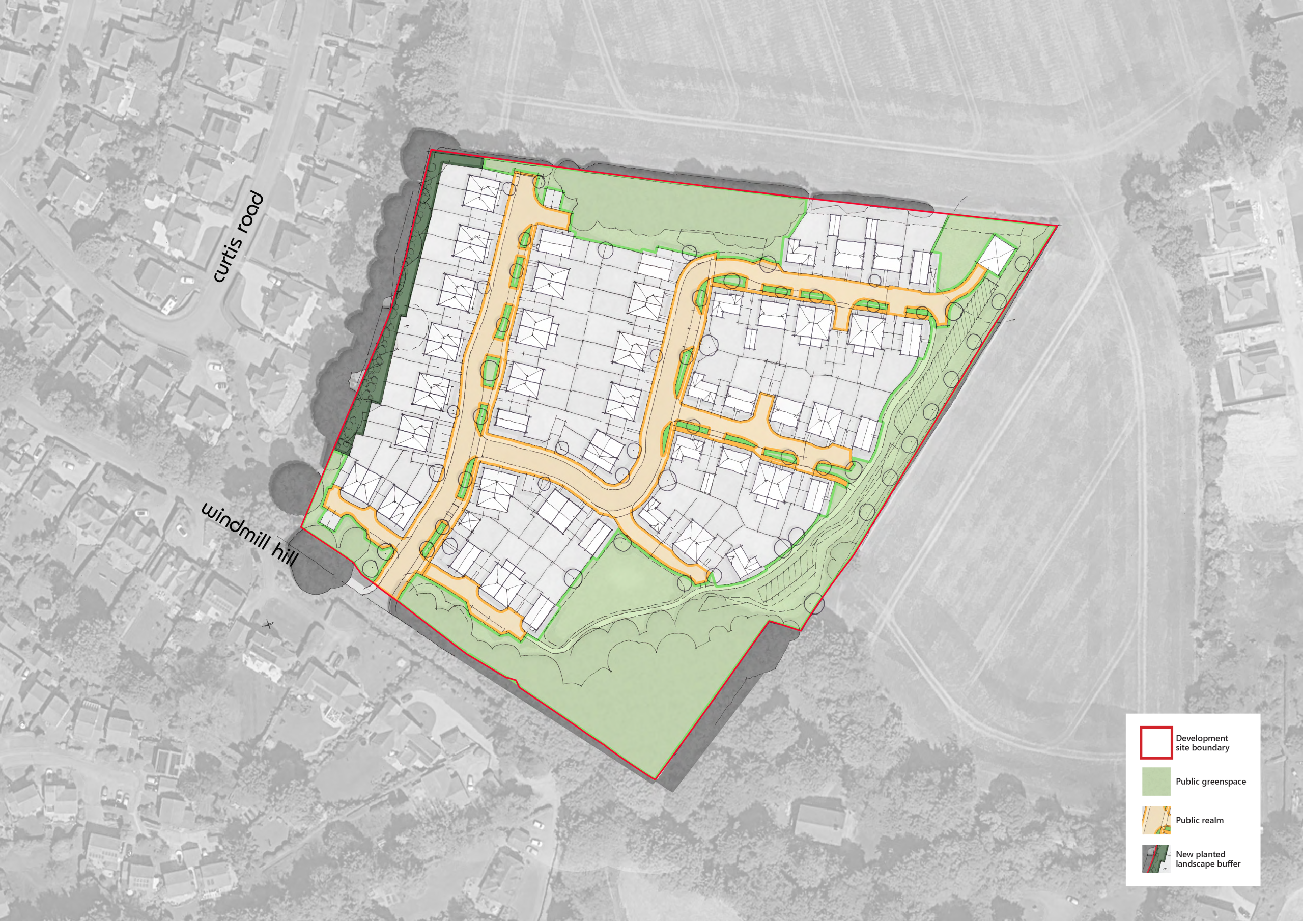
A plan highlighting proposed areas of open space, public realm and new buffer planting
The first element of our landscape strategy is to retain the existing boundary planting as much as possible – particularly the area of woodland in the south-eastern corner of the site, which will be retained in its entirety. The trees along the southern boundary limit visibility into the site from the properties on the other side of Windmill Hill, and though some trees would need to be removed in order to create a safe access to the site, this will be kept to a minimum.
The western boundary is more open by contrast, so the intention there is to supplement the existing mature trees in the neighbouring gardens with new planting within the site, reducing visibility between the site and the neighbouring properties on Curtis Road. New homes within the site would be set back from the western boundary to enable the maintenance of this landscape buffer, which would be gated off and inaccessible to the public.
The northern boundary has a dense hedgerow along its western part but is relatively open in the eastern part, with views into the neighbouring field and the industrial estate beyond. We propose to retain the existing hedgerow but add new planting on this boundary to help screen the view of the industrial estate and limit views of the development from the north.
Aside from the area of woodland in the south-eastern corner, the eastern boundary of the site is largely open as well, with views towards the open countryside but also towards developed features such as the A31, the solar farm on Caker Lane and two lines of electricity pylons. New planting is proposed on this boundary to screen views of the A31 and the solar farm from the site, but also to screen and soften the development when viewed from the east.
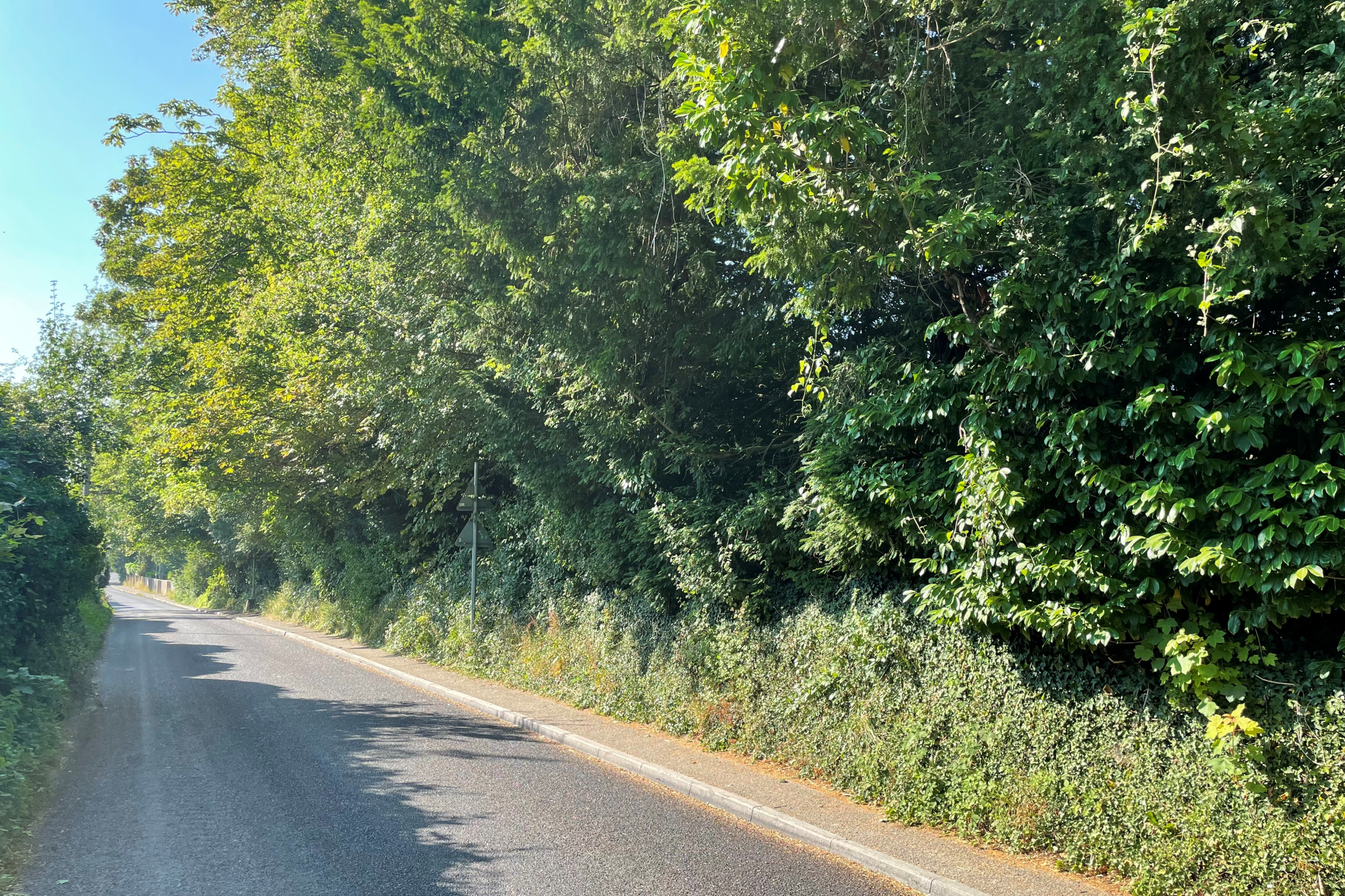
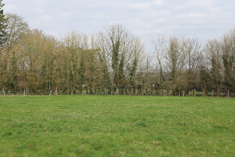
Existing planting on the southern boundary (left) and northern boundary (right)
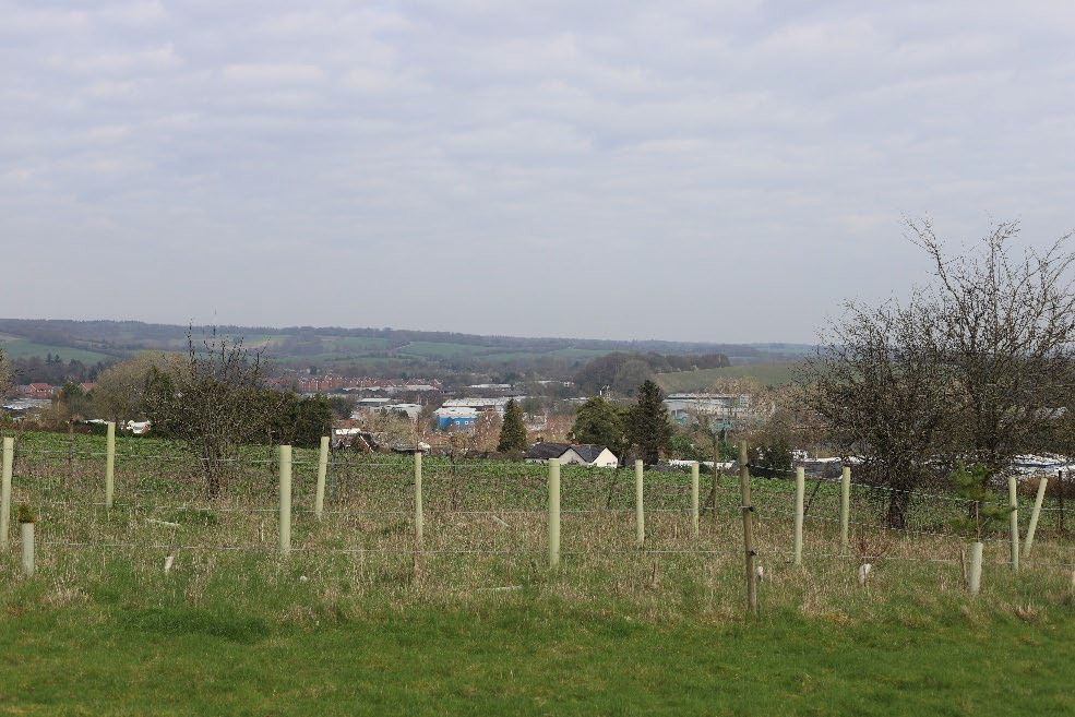
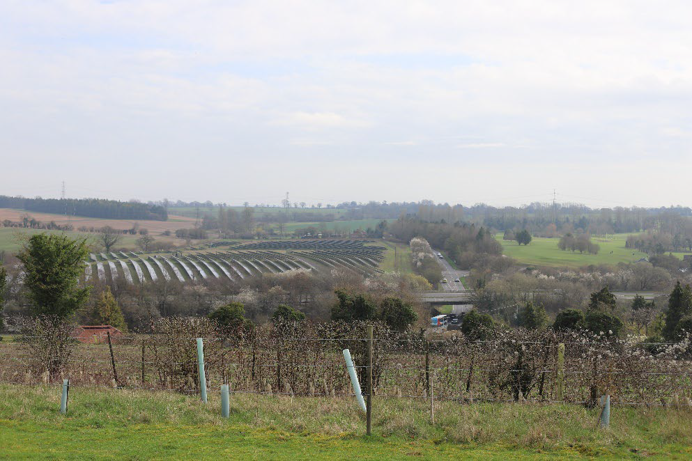
Views from the northern boundary (left) and eastern boundary (right)
A Landscape and Visual Impact Assessment (LVIA) will be submitted with our planning application, assessing the impact on local views in greater detail.
Contact Us
If you have any queries, please contact Charlotte Matthews of SP Broadway on 07503 201 876 or at charlotte@spbroadway.com